|

|

|

|

|

|

|

|

|

|
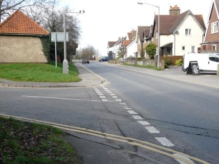
Richings Park today ...

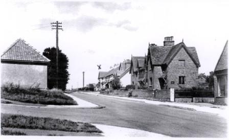
Thorney Lane 2011
that time) and the only house of its kind!
The builders
Very little is known about those who actually built Richings Park. Several companies seem to have been involved, possibly at different times. Messrs Limpus & son of Kingston on Thames were mentioned in early promotional material and provided the doors and windows for the houses; Gradwells were mentioned by early residents and Rhys J. Rees was involved in 1930.
Roads/Tracks
Thorney Lane, running all the way from St Peter's Church in Iver through Richings Park to Sutton, Horsemoor Green and Langley Marish and connecting with the road to Thorney Mill, has probably existed for more than a thousand years. For much of that time its use was to connect the manor with its more remote farms and the rich parish land to the south, but
it became more important when Richings Park became an estate in its own right. At times in the past, a section was also known as Richings Lane. Perhaps not surprisingly some of the modern Richings Park roads have their origins in some of the old tracks to fields and homesteads, which were themselves influenced by ancient long gone features. The Sykes brothers tapped into this vein of history when naming the roads of the Estate.
The large area of Thorney Wood dictated the course of the roads with those to the west of Thorney and Colnbrook curving round the wood. Originally most travel was on foot on tracks that lead from Colnbrook to Iver passing along Dole Slade, then across the Ridgeway to Iver.
Changes to the roads in Richings Park were made by John Sullivan who bought the estate in 1786. A sketch map from the conveyance dated 1792 showns the original roads and the changes were made in 1795 resulting in the formation of the present Old
Slade Lane as shown.
North Park was the northern boundary of the park ground of Richings Manor formed from the old track to Sutton and Parlunt during John Sullivan's changes. More recently it was a track leading to Market Lane and Meadfield Road and Langley.

Thorney Lane
This route was lost during the war as the Hawker airfield extended right through. At that time the route from Richings Park to Langley was via North Park which only extended just beyond the drive upto Home Farm, along a dogleg through Home Wood (which extended between Home Farm and Sutton Lane) and out into Sutton Lane alongside the farmyard.

